history
Providing Premium Photogrammetry and Related Services Since 1974
Martinez Geospatial founder Anthony Martinez began his career in photogrammetry as a topographic mapper in the United States Army. After completing his service in the Korean War, Mr. Martinez continued to develop his cartographic skills working as a draftsman at the Minnesota Highway Department (now the Minnesota Department of Transportation) and also as a technician at a private aerial mapping firm.
When Anthony opened a two-room office in St. Paul in 1974, he never dreamed of how his company would grow in size and complexity. Martinez Geospatial has grown and changed over the years to offer innovative, industry-leading geospatial services to its clients. Clients who respond enthusiastically, with an ever-growing list of large, complex projects to the firm’s credit.
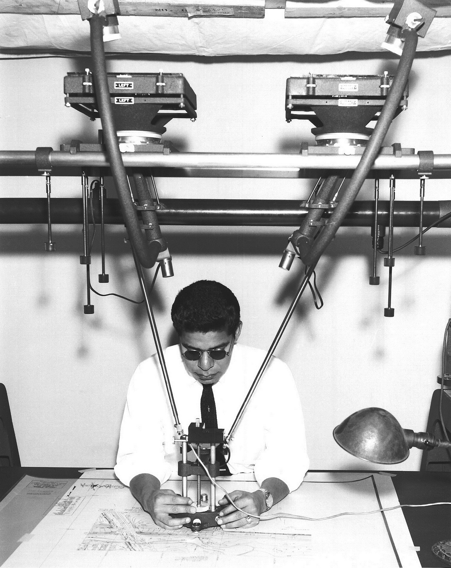

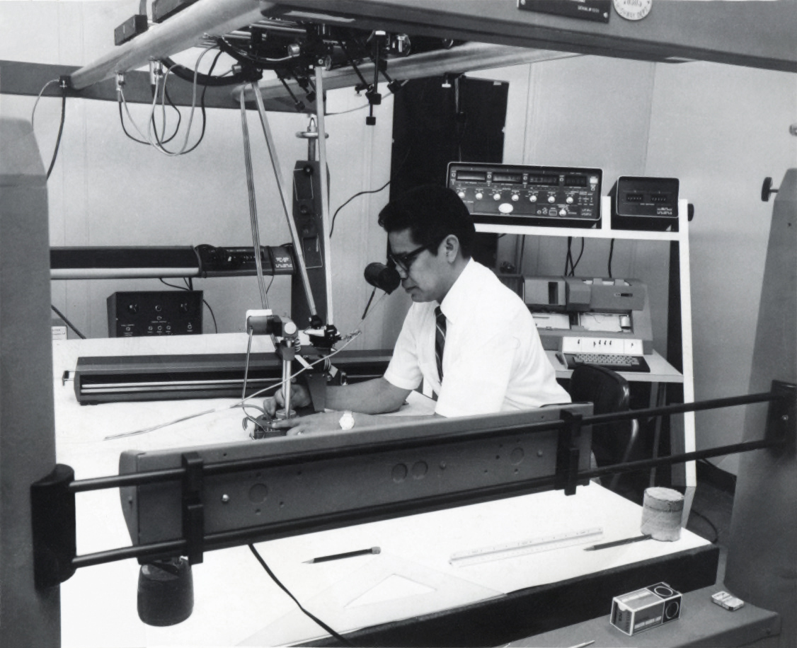
- 1974: Anthony Martinez founds Martinez Ortho Mapping in a two-room office on Fillmore Avenue in St. Paul, making hard copy maps.
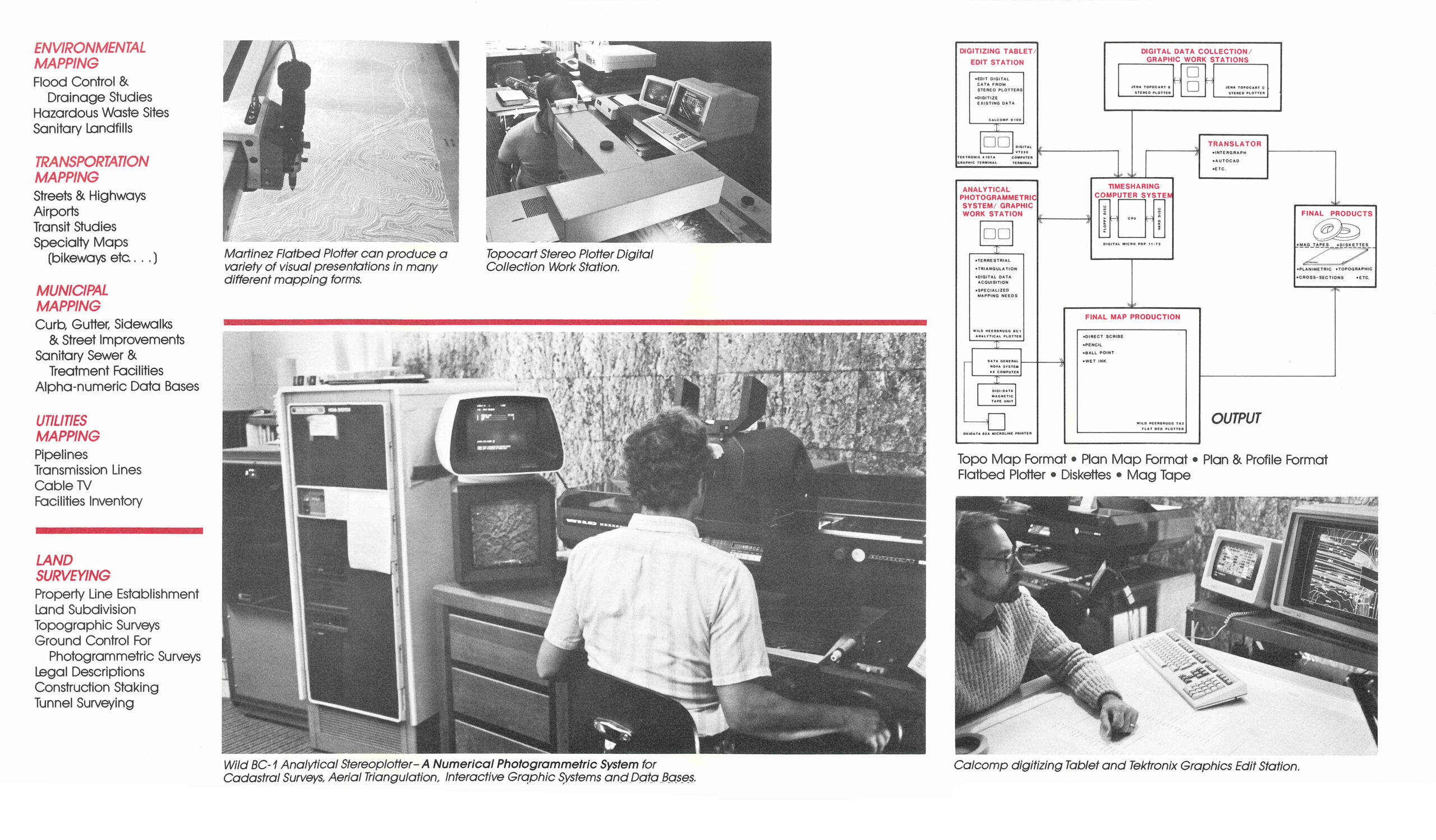
- 1980: Still producing hard copies; acquires first computer system as big as a refrigerator.
- 1981: Name is changed to Martinez Mapping & Engineering, with their first photo control survey done in-house.
- 1986: Name is changed to Martinez Corporation.
- 1987: Did mapping for the design of the Superconducting Super Collider particle accelerator in Texas.
- 1994: Mapped O’Hare Airport – one of the first large mapping projects where they delivered a digital product.
- 2009: Name is changed to Martinez Geospatial, Inc.
- 2011: Steve Martinez steps into his current role as President of the company.
- 2015: Purchase of mobile mapping/LiDAR system.
- 2015-2016: Provided Building Information Modeling (BIM) for Philadelphia International Airport.
- 2020: Purchase of first drone to use for unmanned aerial surveying.
- 2022: Purchase of first drone with LiDAR capabilities.
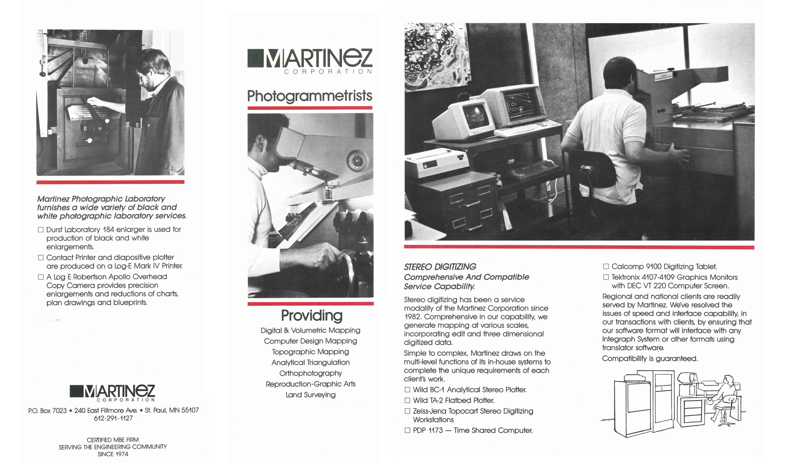
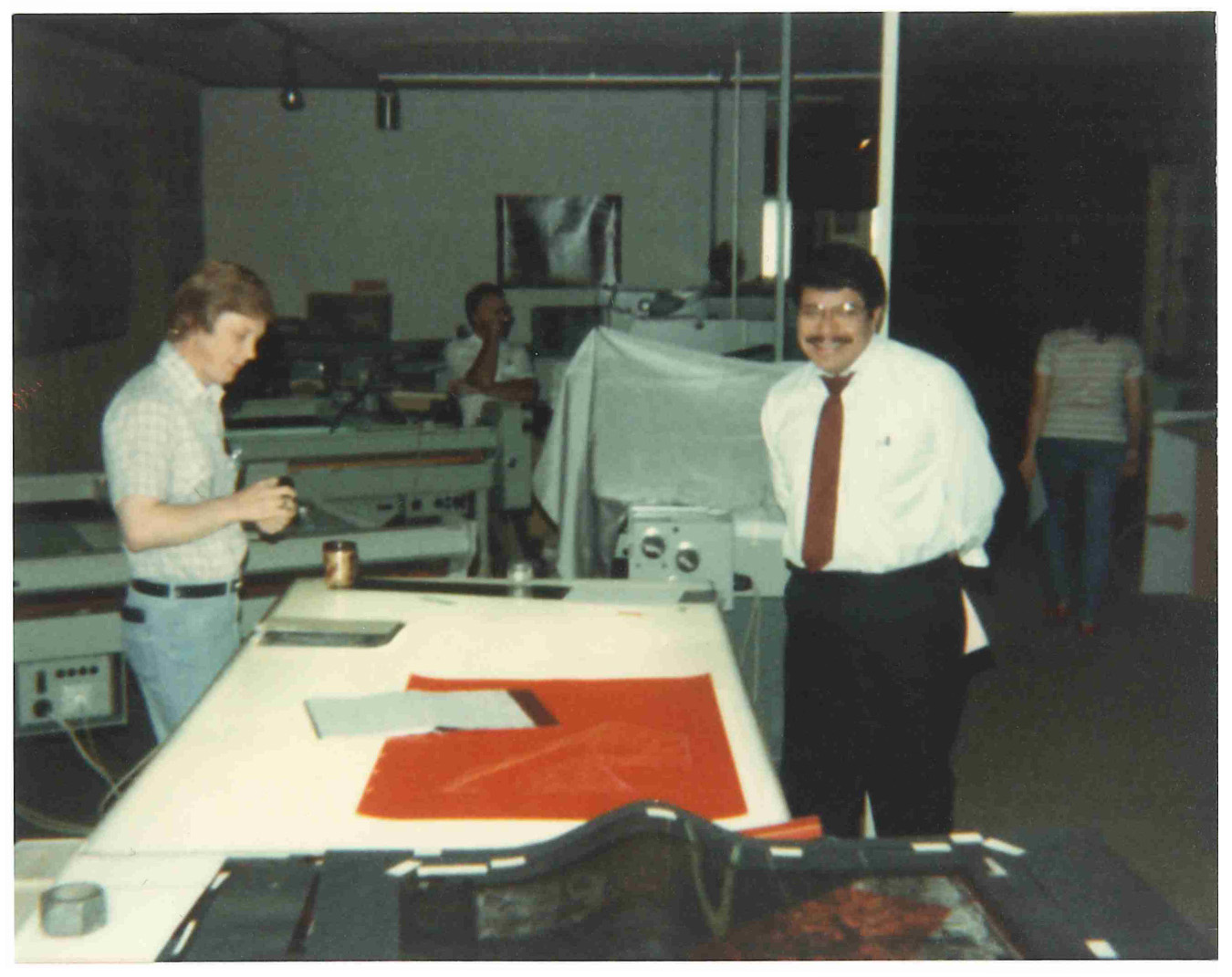
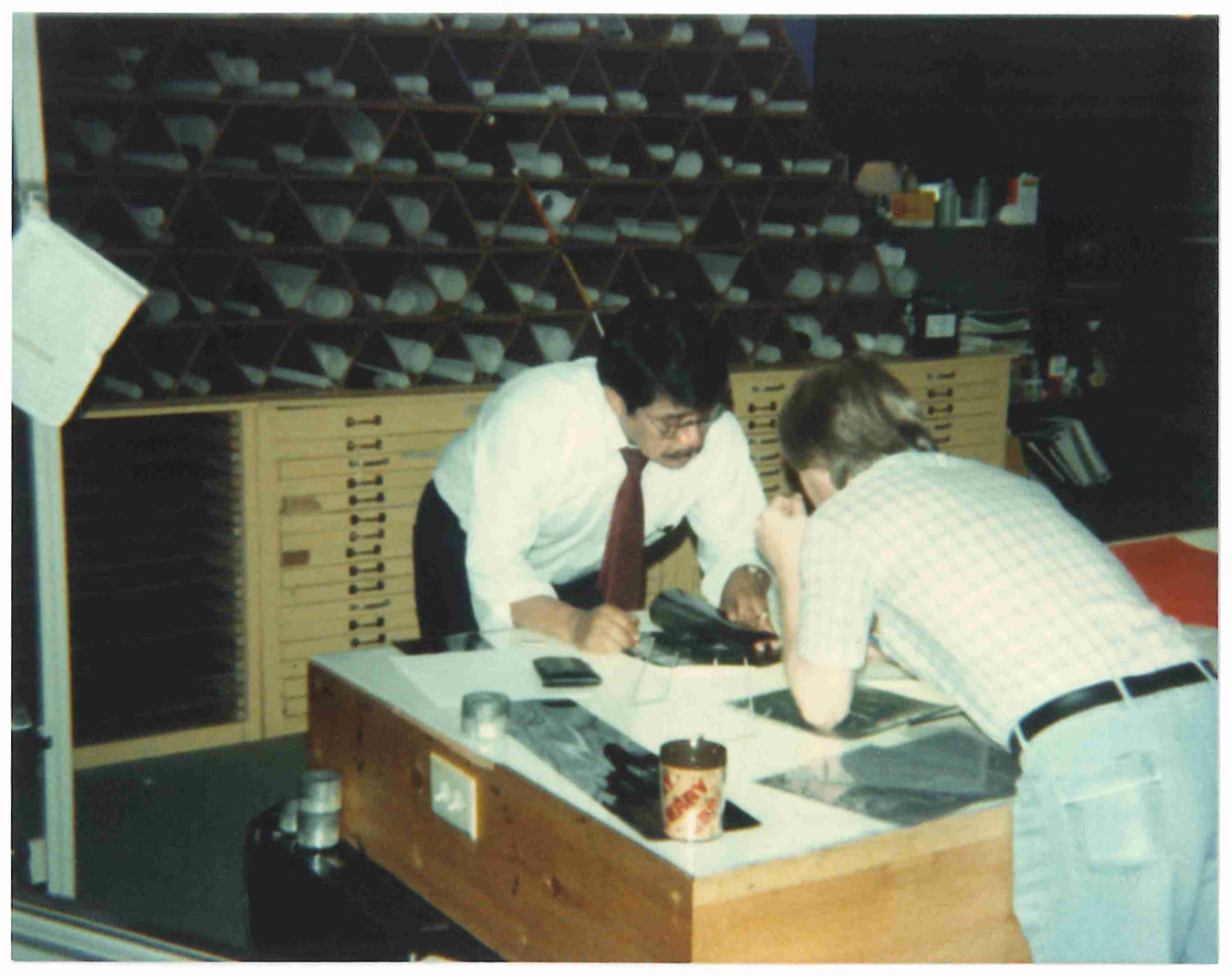
“I was fortunate that my father gave me a part-time opportunity while I was still in high school. Some of my job duties at the time included accounting assistant, opaquing negatives (similar to removing dust artifacts in Photoshop), working in the photo lab exposing and developing contact prints and diapositive, dugging diapositives and operating a Kelsh K-320 ortho instrument. Even back then, technology fascinated me and I was eager to learn and get involved with all aspects of the company.” – Steve Martinez
“It’s been an amazing journey. When my dad opened his first office, they produced only hard copy maps. He added a computer six years later that was as big as a refrigerator. Today, that much computing power probably fits in a watch. Today, everything is digitized, and we can send images anywhere with the touch of a button.” – Steve Martinez
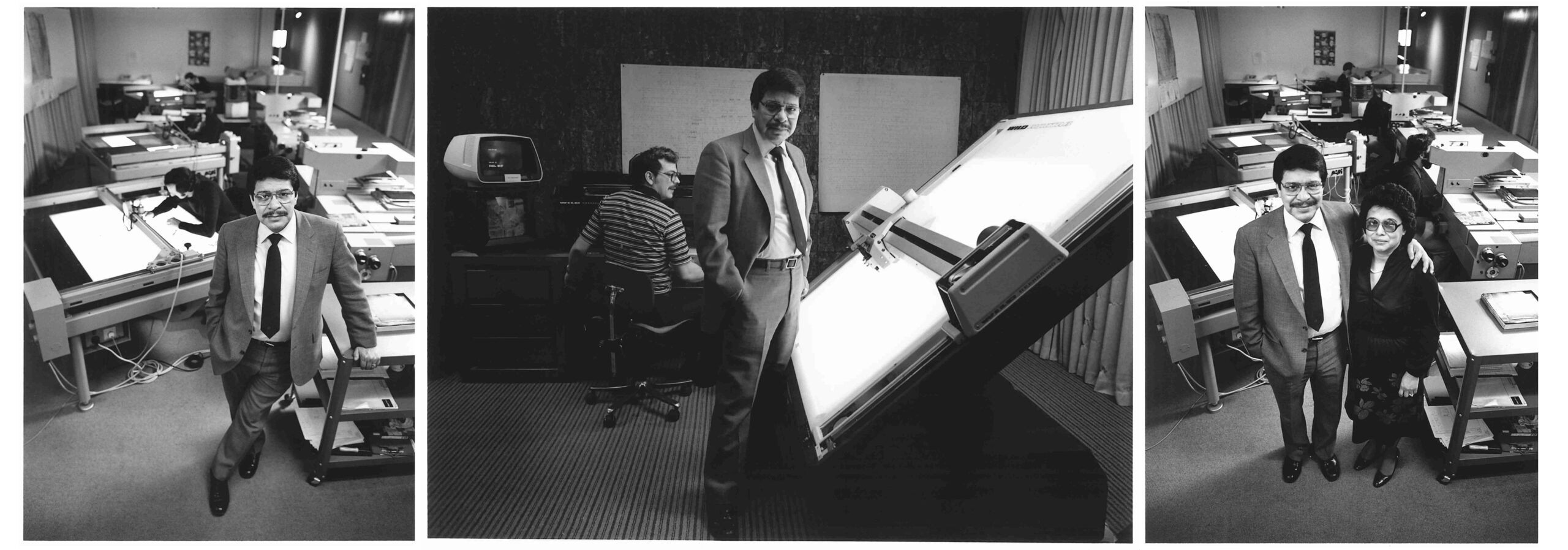
Few things last 50 years, let alone businesses. According to the U.S. Bureau of Labor Statistics, only 36% of companies last 10 years and about 21% survive to see their 20th anniversary. Martinez Geospatial is different. From cutting-edge drone and LiDAR technology to exceptional service, Martinez celebrates this milestone along with its customers and looks forward to 50 more years of service to architects, engineers, and others who need precise and expert geospatial services.
Read the press release on our 50th anniversary here.
Martinez Geospatial
2915 Waters Road, Suite 100
Eagan, MN 55121
Phone: 651-686-8424
Fax: 651-686-8389
